


Introduction
Every year the world produces better tools and more powerful technology. We expect to get more done with these devices, and when properly used, we can. But a tool is often meant to accomplish a specific task, not every task. Just as a hammer is good at banging in nails, it is very poor at cutting plywood. Similarly, drones are very good at some tasks, and not very good at others. So when is a drone a helpful tool in land services, and when does it fall short?
Flying any drone in the United States that weighs more than .55 ounces requires an FAA 107 license. After passing the 60 question examination and registering with the FAA, you can legally fly your drone under certain situations, in certain locations. I won’t go into all of the places and times you can and cannot legally fly your drone, but know that there are many restrictions that aim to keep airspace safe for everyone on the ground and in the air. In addition to being licensed, our pilots maintain liability insurance in the unfortunate event of a collision. We take each mission seriously and will never fly in a situation we deem risky.
Why drones?
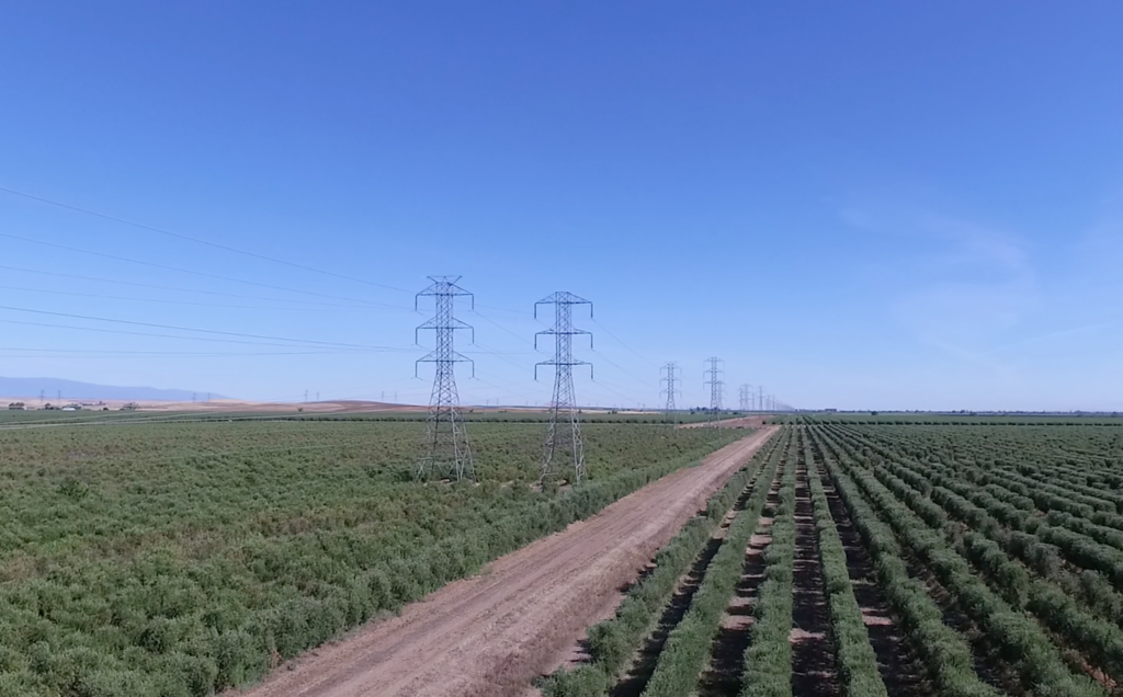
In many cases, drones can access areas that would be difficult or nearly impossible to access on foot such as across a body of water, over a cliff or on a steep grade, or anywhere else land access is arduous. Deploying a drone to these areas can reduce risk of injury to personnel and increase efficiency. Peak Land Services can deliver aerial imagery to assist in managing large pieces of land, monitoring critical infrastructure, tracking progress of ongoing construction projects, and more. We can also provide maps and coordinates to geotag your images and videos for reference.
What is involved?
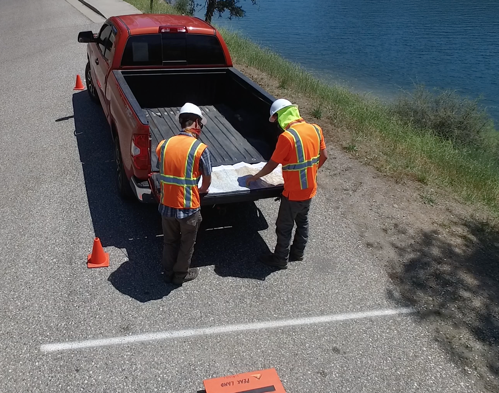
Flying a drone is a two-step process which requires thoughtful planning and execution. The first step is to plan your mission and understand the risks. Adverse weather and physical obstructions such as trees can prevent the pilot from safely flying, so planning our flight is essential. Before launching, our drone pilots will check the airspace for any restrictions, check the weather to understand how current conditions will affect flight performance, and check the entire flight area for obstructions and potential hazards. If the pilot determines they can safely and legally perform the mission, they will proceed to step-two.
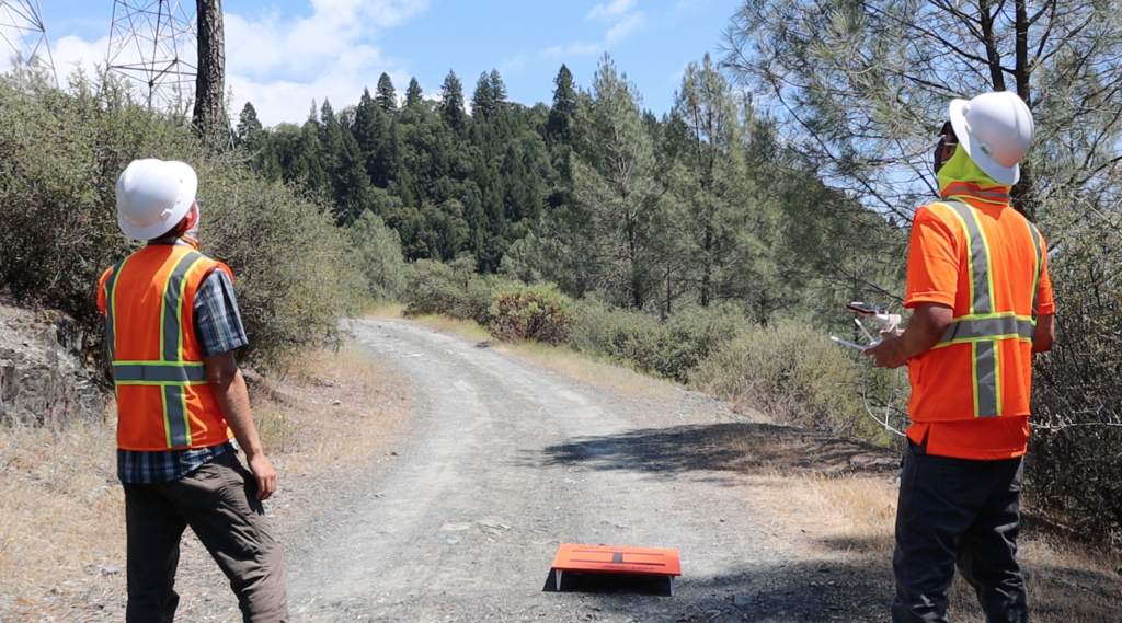
Before launching the drone, the pilot will calibrate the compass and establish a secure connection between satellites, drone, and the control module. If possible, the pilot will use a trained visual observer to act as a second set of eyes to maintain visual line of sight with the drone. Once the pilot has performed his checks, he will launch the drone and fly the mission according to his plan, taking any images or videos during the flight that the client has requested. During flight we continue to monitor weather conditions, visibility, battery life, satellite signal, and camera settings to successfully complete the mission.
When drones are not the right tool
Not every situation is suitable for deploying a drone. In cases where there are many people around, drones are not recommended in the unlikely event of a crash. Certain places such as national parks, wildlife refuges, airports, and military operation zones are completely off limits to drone flight. Additionally, drones cannot be flown in heavy fog or dense cloud cover, during moderate to heavy precipitation, or other inclement weather events.
Equipment and Data Security
Given the security concerns over data breaches from Chinese manufactured drones, we do not use any DJI or other Chinese-made drones. Peak Land Services only uses cutting edge hardware and software from a variety of American and European providers. Our drones are capable of photographing 21 megapixel still images and taking 4K HDR videos. All data captured is encrypted and locally stored for security and peace of mind. Technology changes very quickly and we are constantly looking for better tools to deliver excellent results.
-Russell Layton
FAA 107 Licensed Drone Pilot